
Accurate surveying is the foundation every project is built on. RSK Engineering provides comprehensive land surveying, GIS mapping, and staking services that give your project the precise data it needs before design ever begins, as well as he accuracy it depends on throughout construction. From boundary determinations to elevation certificates, we manage survey coordination, engineering, and city approvals efficiently, saving you weeks or even months in the process.
What We Do
-
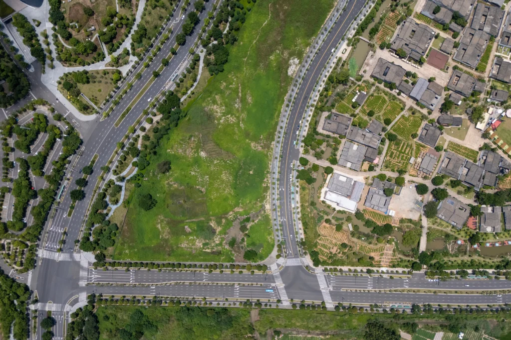
Topographic & Boundary Surveys: Detailed mapping of land features, elevations, and boundaries to establish an accurate picture of your site before design begins.
-
Platting: Platting and land division services designed to meet all zoning, utility, drainage, and city engineering requirements.
-
Elevation Certificates: FEMA-compliant elevation certificates for projects in or near flood zones, supporting permitting, insurance, and floodplain compliance.
-
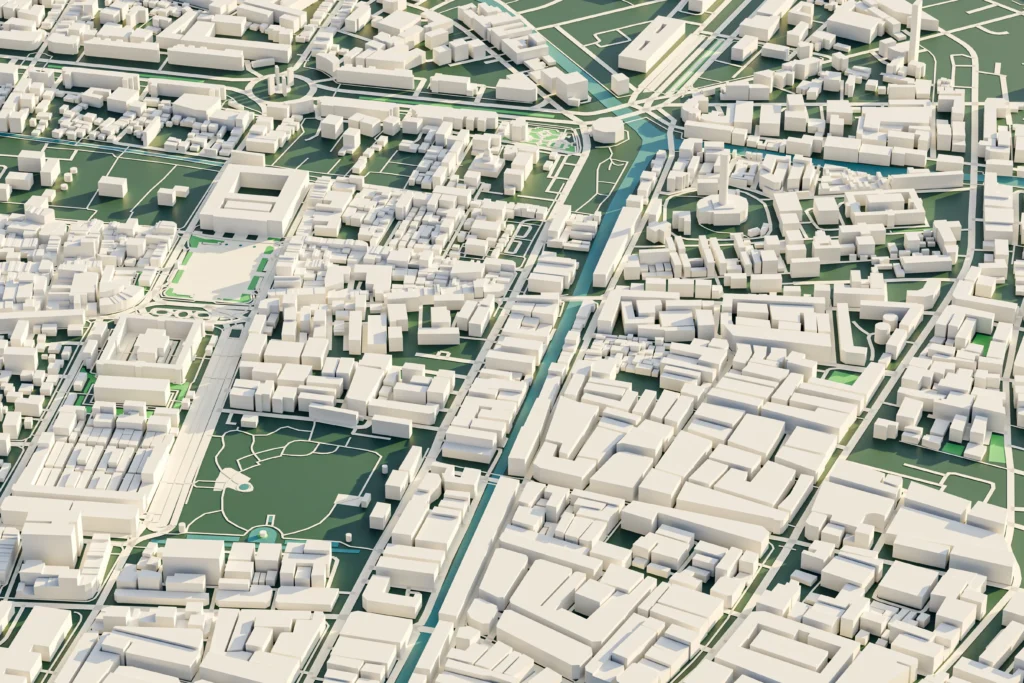
GIS Mapping: Geographic information system mapping for site analysis, planning, and project documentation.
-
Construction Staking: Precise staking services that translate design plans into the field so construction starts in exactly the right place.
-
Floodplain Studies & LOMA/LOMR: Documentation and analysis to support letters of map amendment or revision, helping clients remove property from a flood zone designation or update floodplain boundaries.
-
Fast Turnaround: We manage survey coordination, engineering, and city approvals—efficiently saving you weeks or even months.
-
Right-of-Way & Easement Surveys: Accurate delineation of right-of-way and easement boundaries for municipal, TxDOT, and private development projects.
Mapping the Foundation for Every Build
Have a project in mind? Let's talk.